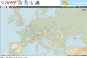

When we talked to the folks at SkyVector.com at Oshkosh, they promised big improvements were coming. If you’ve never made a visit, the site supplies digital VFR sectional and IFR enroute charts of the United States that look great, are super easy to use and, best of all, are completely free. Now, SkyVector has expanded its coverage exponentially by unveiling worldwide charts.
In development for years, SkyVector’s world charts will be refreshed every 28 days with updated aeronautical data, just like U.S. charts. The world charts come in three styles: “sectional-style” VFR charts for use at low levels, “World Low” for low-altitude IFR enroute charts, and “World Hi” for high-altitude enroute charts.