











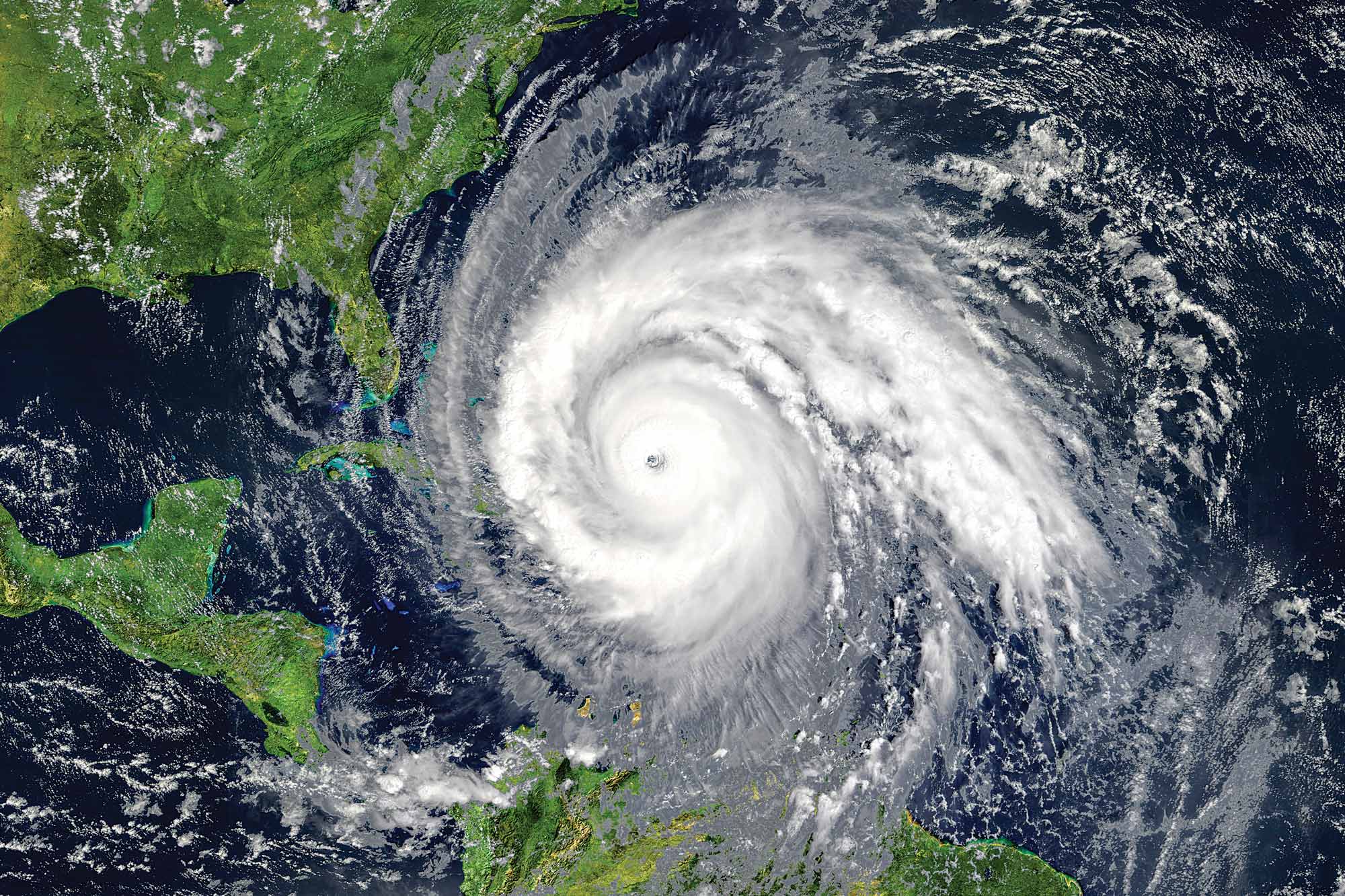
In the early hours of August 19, 2019, a tropical wave appeared off the west coast of Africa. A few days later, it began showing signs of organization and cyclonic movement inside a small low-pressure area. By August 24, the system had grown large enough to qualify as an official tropical depression centered about 700 nm southeast of Barbados. That depression, now known as tropical storm Dorian, made landfall over Barbados with sustained winds of 45 knots. Dorian continued to intensify as it approached St. Croix later that day with increased winds of 65 knots, and by August 30, Dorian was labeled a Category 3 hurricane with winds of 115 knots.
Hurricane Hunters

Key Takeaways:
- Hurricane Dorian exemplified the immense destructive power of tropical cyclones, causing billions in damage and significant loss of life in the Bahamas and US after intensifying to a Category 5 storm.
- NOAA's "hurricane hunters" use specialized aircraft and sophisticated radar systems to fly directly into storms, gathering vital, real-time data to improve hurricane forecasting and modeling.
- While advancements have significantly enhanced hurricane track prediction, forecasting storm intensity remains a complex challenge, underscoring the critical need for continuous research and preparedness for coastal residents.
Key takeaways sponsored by Aviator Pro | Start Your Training ->
See a mistake? Contact us.

