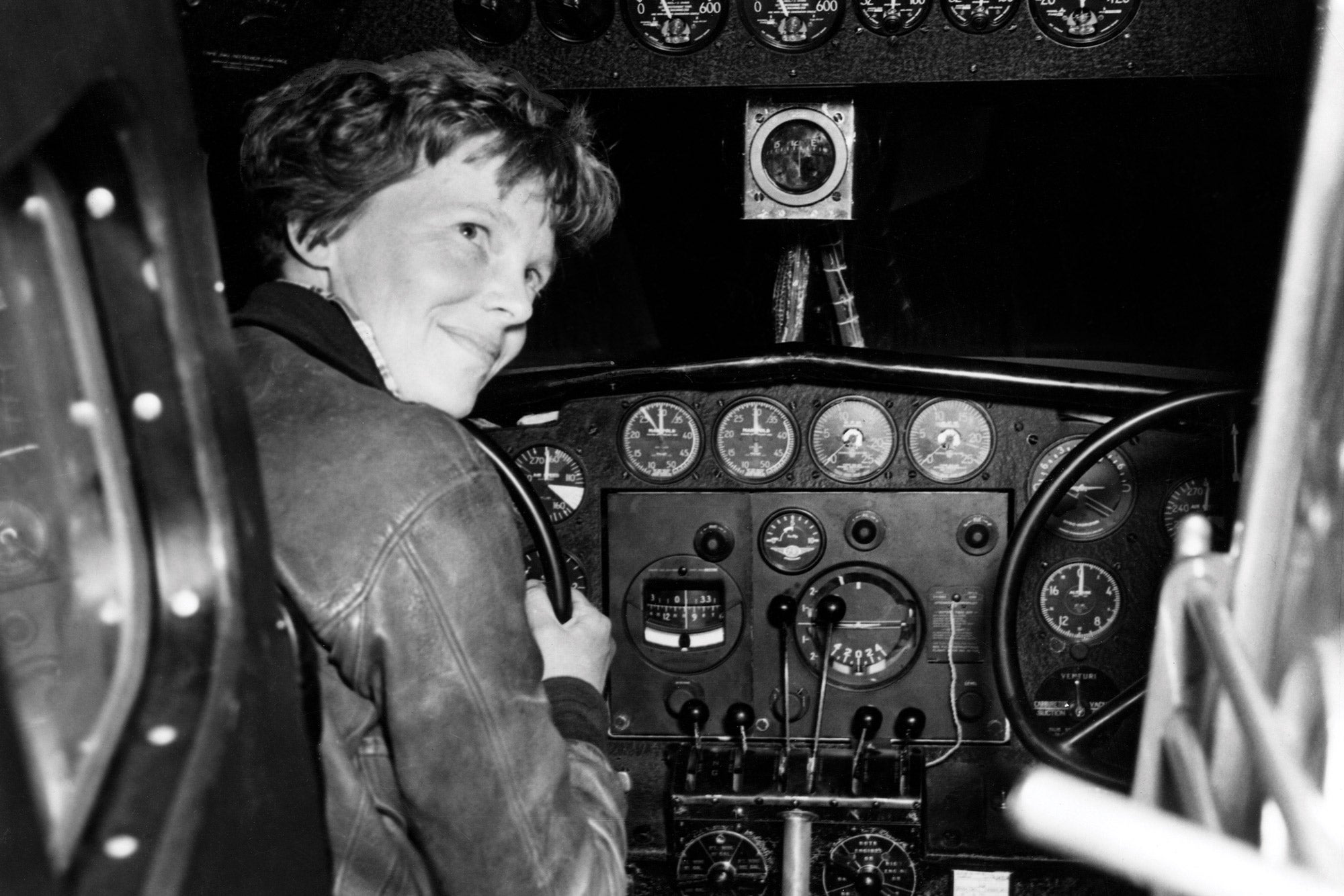
Three-quarters of the globe behind them, Amelia Earhart and her navigator, Fred Noonan, now had only the Pacific Ocean left to cross. They took off midmorning from Lae, Papua New Guinea, on July 1, 1937, bound for Howland Island, an 8,200-foot-long, paramecium-shaped speck halfway to Honolulu. A runway had been carved out on the uninhabited island for their use. Fuel awaited them, and the US Coast Guard cutter Itasca stood by with radio-direction-finding equipment. Earhart would navigate by pilotage and dead reckoning until nightfall; they would then rely on Noonan’s celestial navigation until the sun rose an hour before their anticipated arrival. Thereafter, Earhart would dead-reckon again.
Amelia Earhart’s Final Flight
Key Takeaways:
- A 1999 Caltech study suggests Amelia Earhart's final flight had a significantly shorter fuel duration of 20-21 hours, not the commonly assumed 24 hours, meaning her plane could only have reached Howland or nearby Baker Island.
- This reduced fuel range was attributed to high tropical temperatures at takeoff (decreasing fuel density), unconsidered effects of altitude on specific fuel consumption, and a strong 26 mph headwind that increased the effective travel distance by 500 miles.
- The flight was further jeopardized by problematic preflight planning, limitations in navigational precision (e.g., lack of astrodome), ineffective radio communication, and the tiny, low-lying target island, leaving no margin for error when fuel ran out.
Key takeaways sponsored by Aviator Pro | Start Your Training ->
See a mistake? Contact us.